PlanRadar - Property Management System
PlanRadar is an award-winning, digital SaaS platform for documentation, communication and reporting in construction, facility management and real estate projects. The platform operates across the globe, currently in over 75 markets. PlanRadar streamlines daily processes and communication in an easy-to-use digital platform which connects all project stakeholders and provides real-time access to valuable project data.
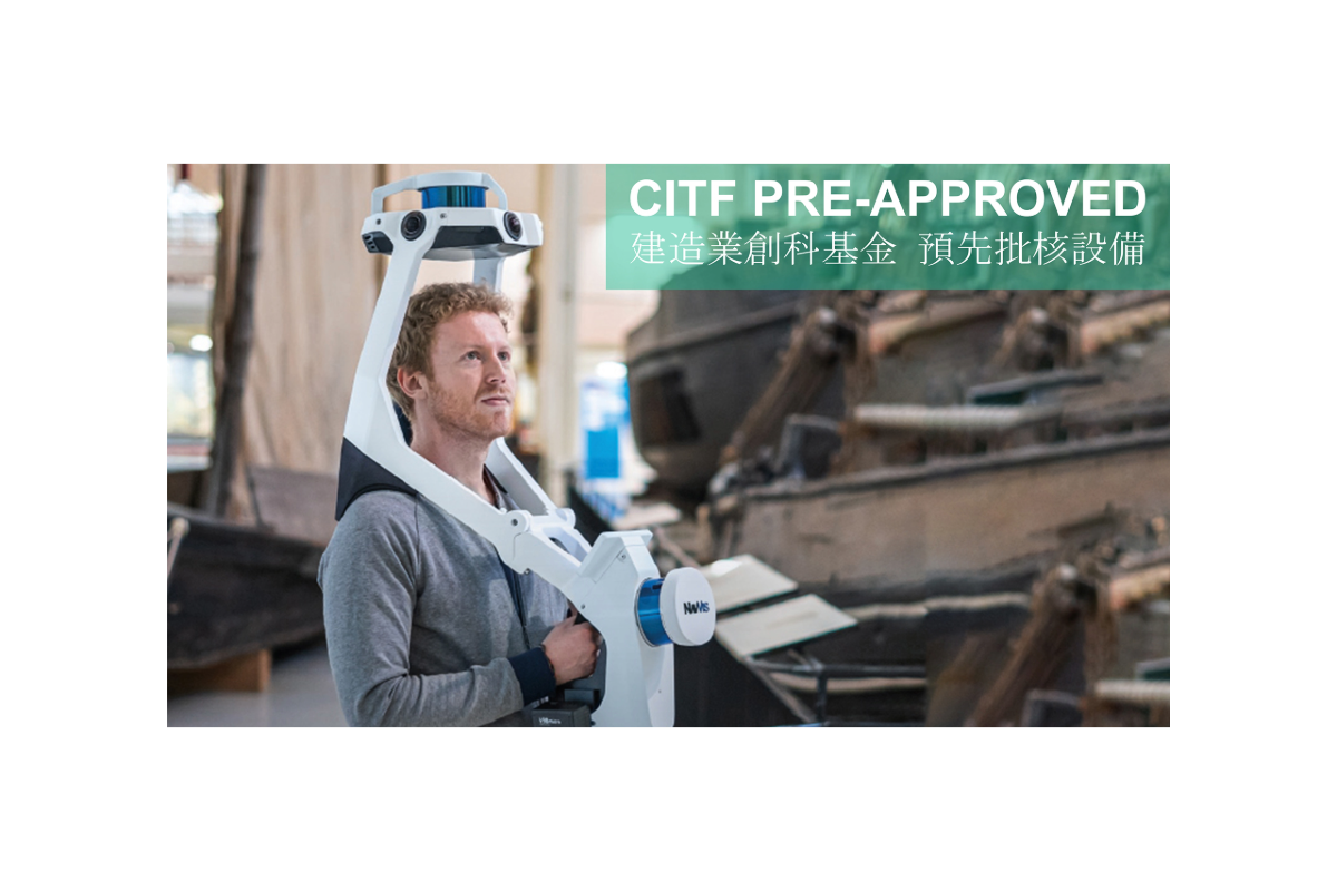
NavVis - Survey-grade 3D Mapping
Wearable mapping device that brings high-quality reality capture to the AEC industry in a versatile and compact design.
METAROOM by Amrax - 3D Scanner App
3D scanner app for professionals. Get accurate CAD-ready 3D room models in just minutes by scanning with your iPhone Pro or iPad Pro.
Manifold Tech - Lightweight 3D Mapping
Manifold Tech is a high-tech 3D scanning and modeling, robotics, and algorithm company founded in October 2021, originating from the University of Hong Kong's Department of Mechanical Engineering and Robotics Systems (MaRS) laboratory.
SKYCATCH - Mapping with Drone
Enterprise-grade laser scan level accuracy drone mapping and data analytics. Skycatch provides aerial data capture automation, processing, visualization and analysis tools. Proven 5cm accuracy across all axes, eliminates GCPs for a safer data capture, process offline in the field or in cloud.


